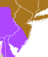
West Jersey/South Jersey Maps
Mostly this page will have links to sites that have the best high resolution images that I can find. I won't be re-hosting those images (copyright issues) but I will try to provide links and easy instruction on any viewers that are necessary once you get there.The easiest place to get to a wide variety is the Rutgers site:
New Jersey Historical Maps
but here is a list of some of my favorite places from that site and others:
Ben Ruset's NJPineBarrens.com site has a link to a multiview map including topos:
Under the "Maps" dropdown menu choose "NJPB Maps" then use the new "Map" dropdown
in the upper left of the page to choose Historic Topos or other views
The first NJ topos from 1870s/1880s by C.C. Vermeule (clickable map)
mapofus.org : Another portal, but has a nice interactive graphic of the changing county lines
David Rumsey's (ENORMOUS) Map Collection
Osher Map Library at U. Southern Maine
Called "Historical Maps of Pennsylvania" but .... Jersey comes along for the ride in most -
- especially in the early maps. Nicely chronological if you click the links ABOVE the thumbnails.
A VERY detailed view of the 1685 version of the Visscher map -
takes some manipulation and requires "Mr. SID" viewer that is downloadable there
A map of the Pinelands Designations -
Pinelands National Reserve vs. Preservation Area District vs. 8 Special-Use Areas (whew!)
If you haven't tried Google Earth, well then...you simply must!! Requires downloading the program.
And ....... The votes are in !!!!!!
 (WEST JERSEY LIVES !!!! :-)
South Jersey Mystery Marker!
UPDATE!!! MYSTERY SOLVED!FAGS9 = Project Number for Federal Aid Grade Secondary (road).
See link below for details. [was: Can anyone identify this??]
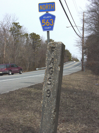
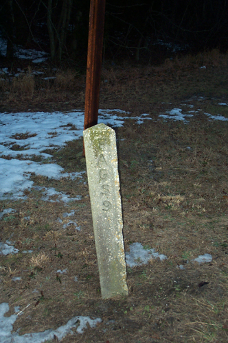
FAGS9 ? Click for more detail on markings and location.....
Last updated: 2015 Twelfth Month, 14th.